11/06/2012

MRRT Update: Pine Bend Bluffs Segment Nearing Completion


Most of the southern half of the Pine Bend Bluffs segment of the Mississippi River Regional Trail has been paved and is nearing completion.  Placing top soil and grading work continue along the sides of the trail in preparation for seeding.  A lot of progress has been made since my last report and the photos below will detail completed work and what is still to be done.  The photos will chronicle the trail from 117th St. E northward to 111th St. E. at intervals to show the full length of this 1.1 mile segment.


Below is the section of trail to still be paved.  This is part of the 300' section I mentioned in the last post that was unclear on the placement and paving of it.


It does appear that it may get paved soon by the markers that are in place.  Fence, edge of trail, guard rail and back of curb markers are place along this section indicating trail placement.


Just past this point is one of two scenic overlooks that provide great views of the river, Baldwin Lake and the Mississippi River Valley.


The next series of photos show the trail as it meanders along the edge of the bluffs and deep wooded ravines.


At this point is the second scenic overlook with a viewing platform off the trail.  This overlook provides the best view of the valley, you can see for miles here.


The trail continues on past the scenic overlook winding through the woods and meeting up with the finished northern half of the Pine Bend Bluffs segment of trail.


I ventured my way back to 117th St. E. and plotted the trail with my phone's GPS to show the course it actually takes.  Below is a screenshot showing the direction and elevation of the trail.


On my way back I encountered these guys.  I'm sure there will be a lot of sightings for those that use the trail with all of the wildlife habitat nearby.  The Pine Bend Bluffs Scientific and Natural Area is one of the most undisturbed areas in the Twin Cities.

11/05/2012

Bike Trail Picture of the Day - 11/5/12


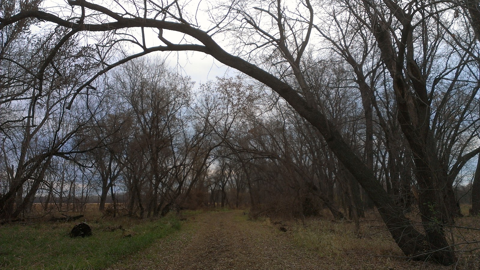
Entering Simon's Ravine

Taken 11/5/12

Location:  Near the Simon's Ravine Trailhead
North Urban Regional Trail
South St. Paul, MN

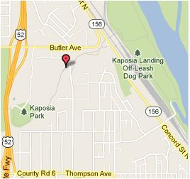
GPS Map Location

11/04/2012

The Minnesota River Bottoms Eastern-Most Segment

Long Meadow Lake Trail

It had been a while since I last rode my mountain bike on the eastern-most portion of the Minnesota River Bottoms. The trails here follow along the Minnesota River from the Cedar Avenue bridge to Hwy. 494 on the north side and all the way to Mendota near the northern part of Fort Snelling State Park on the south side.  I had never been on the Long Meadow Lake Trail on the north side of the river in the Minnesota Valley National Wildlife Refuge's Long Meadow Lake Unit but knew the Fort Snelling State Park Trail on the south side pretty well. 

To make planning my route easy and to give me a reference map to help keep me on track using my phone's GPS showing my location, I mapped out the route I wanted to take using an Android smartphone app called Run. Bike. Route.  It gave me the mileage and elevation changes for the ride so I could plan accordingly.


I picked a route that would start near the Cedar Avenue bridge, cross the bridge onto the Long Meadow Lake Trail and take it all the way to the Minnesota Valley National Wildlife Refuge Visitor Center near Hwy. 494 where the trail ends.  The wide doubletrack trail follows the river and around a dry river overflow channel called the Oxbow until it ventures west towards the Visitor Center.


When you get closer to the Visitor Center there is a fork in the trail.  The right fork is for hikers and pedestrians containing a steep climb and lots of stairs.  The left fork will take you to American Boulevard E. where you will make a right turn and follow it past the Visitors Center where the road dead-ends and a bike path leading to the 494 bridge begins.


Make sure to make a stop at the Visitors Center and check out the great views behind the building.  There is a lookout platform here or you can head over to the pedestrian path just to the east of the building.  Both areas will give you great views of Long Meadow Lake and the Minnesota River Valley so bring your camera.


Once you have entered the bike trail at the dead-end of American Boulevard E. it will bring you onto the 494 Bridge to cross the river to the Big Rivers Regional Trail.  It is about 1.8 miles across the bridge and you will see all sorts of migratory birds below here in the fall.  There were Trumpeter Swans swimming about when I rode across.


Take a right on the trail before Hwy. 13 and this will put you on the Big Rivers Regional Trail.  Follow it north for a little over two miles to D Street in downtown Mendota.  Take a left here, cross Hwy. 13 and follow D Street to the Sibley House Historic Site.  At the end of the road is the access to the Fort Snelling State Park Trail that will take you under the railroad tracks and on to the trail.


From here you will follow wide singletrack that eventually turns into doubletrack trail past the Mendota Bridge.  The Minnesota River will be on your right side and Gun Club Lake on your left as you make your way through the floodplain forest of the river bottoms.


Eventually you will come to the 494 bridge that was crossed earlier to get to this side of the river.  From here the trail continues through the strip of woods between the river and Gun Club Lake.  Once past this segment the trail narrows as it gets closer to the riverbank giving you great views upstream.


There are a few little creeks flowing from the wetlands to the south into the river that you will have to cross.  There are bridges for most of them but one of the first you encounter beavers have dammed up and logs will act as a crossing.

 
From this point back to the Cedar Avenue bridge is only about 1 2/3 miles.  This section is probably the sandiest part of the trail, but with a little speed it is easily maneuvered through.

Parking is available at the Jens A. Casperson Landing located under the Cedar Avenue bridge, but requires a Minnesota State Park Permit on your vehicle.  There is a small area off the road a couple of blocks past the landing entrance on E. Black Dog Road to park that doesn't require a permit.
 

Overall, this is a fairly easy trip with minimal mountain bike technical features.  Those that are new to or would like to try mountain biking will enjoy the ride.  These trails are also a good place to introduce a kid to mountain biking.  Others will find it enjoyable for its mostly flat route to test their speed/time, the scenery and wildlife, and the small number of people that use the trail.  I plan on riding here this winter on a fatbike so I have some floatation over the snow with those big tires.  I am sure many other fatbike riders will have the same idea. 

MapMyRide users can login to their account from their computer and bookmark this route to load it on a smartphone for GPS aid in following the route while biking.

11/03/2012

Bike Trail Picture of the Day - 11/3/12

  
Rolling through the river bottoms

Taken:  11/3/12

Location:  Fort Snelling State Park Trail
Fort Snelling State Park
Mendota Heights, MN

GPS Map Location
 

11/01/2012

Minnesota Bike Blog to Check Out-Velo Traffic

Minnesota is known as the "Bike Friendly State" and there are quite a few good blogs about biking in this great state to keep you informed.  They cover everything from road cycling, mountain biking, fat tire bikes, bike advocacy, traffic and bicycle infrastructure, cyclist's personal experiences and even the weather as it relates to biking.  I will post a series highlighting some of the blogs that I follow regularly that you may want to check out or subscribe to.


Credit: Velotraffic.com
Velo Traffic is a blog written by cyclist Reuben Collins who is a practicing traffic engineer with a local consulting company.  His specialty is bicycle and pedestrian projects and he has helped many agencies across the state with planning, design and implementation of pedestrian and bicycle improvements.   

Velo Traffic posts deal with "engineering, planning, and public policy side of cycling".  Because he resides in Minneapolis, Reuben's posts tend to be locally oriented, but he writes them in a way that those unfamiliar with the local cycling scene can still participate in the discussion.

Reuben told me "I am very aware that there is often a lot of tension between bike advocates and traffic engineers, and I hope Velo Traffic helps bridge this gap.  I am passionate about bicycle and pedestrian safety, and I often use the blog as a place to think out loud as I explore the many studies about potential safety improvement measures."

I asked Reuben what inspired him to start Velo Traffic and he stated "I was inspired to start Velo Traffic because I felt like there was a need for a blog that talked about bicycling from an engineering, planning, and policy point of view.  There are a lot of really great bike blogs out there that talk about advocacy, racing, bicycling events, or other bike-related topics, but I wasn't aware of any that really tried to dive into engineering details or think critically about bicycle infrastructure, policy, or especially bicycle safety.  I hope that Velo Traffic helps fill this void."

Reuben welcomes cyclists questions and answers them publicly on his Ask Me a Question page.  He will try to answer questions about anything that is bike-related whether they be about engineering and infrastructure or you are new to biking just looking for a few tips or tricks.

Keep up to date on all of Reuben's Velo Traffic posts by subscribing via RSS feed, e-mail or visit Velotraffic.com.  Follow Velo Traffic on Twitter @VeloTrafficNews and to interact with Reuben follow him @reubencollins.

I found the easiest way to keep up on all of the latest content for the blogs I read is to use a RSS reader client such as Google Reader or Flipboard.  These allow you to put together all of the blogs you read into one convenient place.  There are a lot of RSS readers that work with desktop computers and smartphones so pick the one that best suits your needs.  Soon I will bring to you another Minnesota bike blog worth reading.
Related Posts Plugin for WordPress, Blogger...