


The length of your trip will vary depending on your starting point and the numerous trail offshoot options along. Typically a round trip ride will be around 14 miles. Keep in mind that all of the trails are two-way and you may encounter people walking, sometimes with pets, so yield to, give an audible signal and pass with caution.


There are several options for parking to access the trails west of 35W. The lot I always go to is the boat launch parking lot near the east side of the 35W bridge on Lyndale Ave. South. There is always plenty of parking spaces and I can head either east or west on the trails. Head west for the route to the Bloomington Ferry Bridge.


From Shakopee on the west end you can start off from the parking area located on Bloomington Ferry Road near Hwy. 101. Follow the road south-east to the paved trail entrance on the other side of the Bloomington Ferry Bridge. This trail will take you to the bike/pedestrian river bridge crossing. Once across the river you'll see the start of the mountain bike/hiking trail by the Minnesota Valley National Wildlife Refuge information kiosk. There is a another parking lot located here just up the hill on Bloomington Ferry Road.
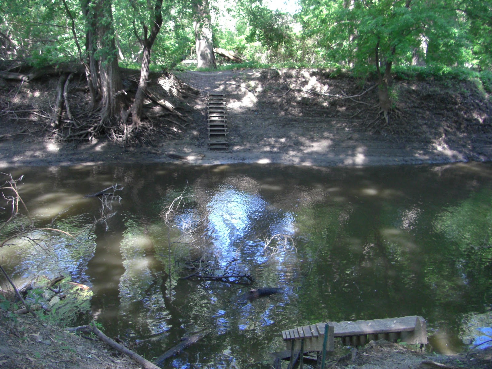

A little more than 1 1/2 miles west of the 35W Bridge you will come to Nine Mile Creek. MORC (Minnesota Off-Road Cyclists) in previous years had a raft crossing in place, but not yet this year. However, there is a large fallen tree up the creek a little ways that can be crossed while carrying your bike.
With the Spring thaw comes the rising of the river which tends to flood out this area. Occasionally you will see high water marks on the trees or debris in branches from previous floods. With the recent mild Winter, that was not a problem this Spring and riders were out on the trails early this year.
In the summertime the mosquitoes and ticks are out in abundance and the stinging nettles can cause some irritation if you ride with shorts, so keep moving and these become less of a problem. Don't be surprised if you kick up a deer that is bedded down along the trail, I've seen quite a few of them here.
The trails east of 35W from the Lyndale Ave. S. parking lot towards the Cedar Avenue bridge tend to be a little more challenging due to the very loose sandy conditions from previous years of Spring flooding. If you are a fat tire biker, give this section of the Minnesota River Bottoms a try. Those big tires will provide some floatation through the heavy silt.
I had some difficulty trying to find any detailed maps of the network of trails here but I did find a useful map link and more information on the Minnesota River Bottoms MORC Wiki page.

No comments:
Post a Comment